LTER Sites
Fruška gora
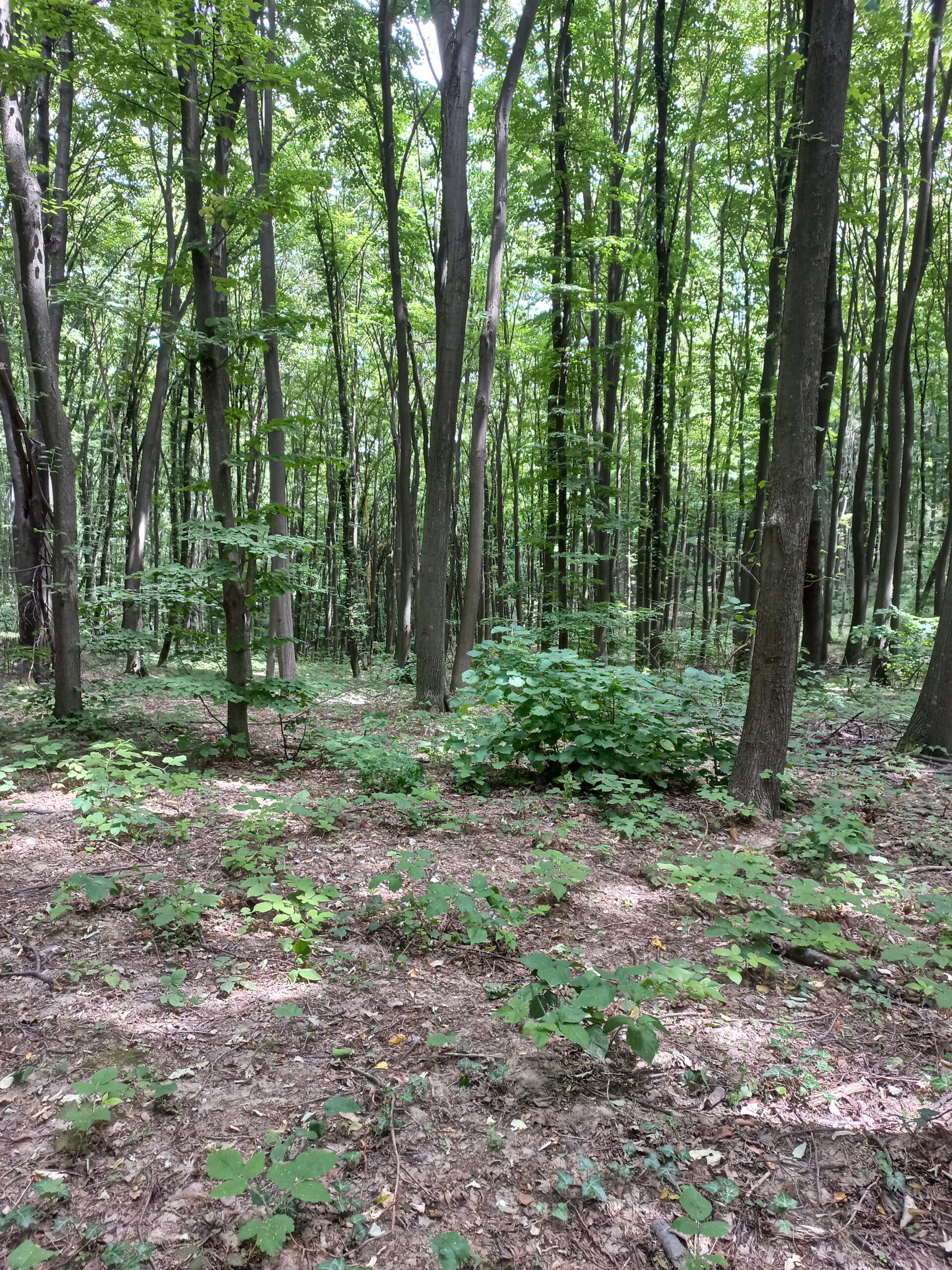
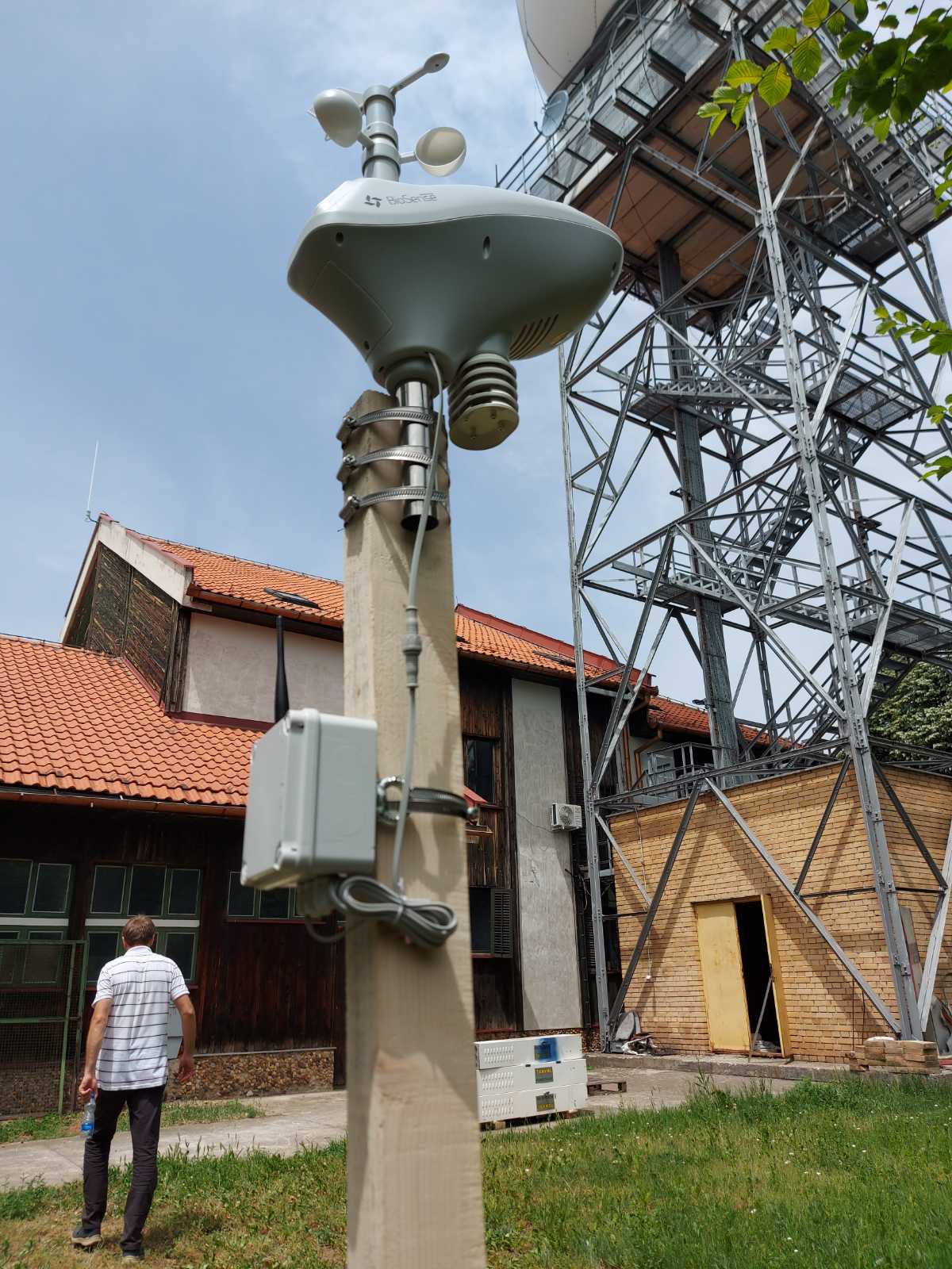
Fruška gora is a research site situated in temperate decidous forest with varied types of climatogenous forest communities that have been under constant and increasing pressure from surrounding urban areas, building, traffic, agriculture and economic use. The dominant forests are mesophillous mixed forests of sessile oak (Quercus petraea) and European hornbeam (Carpinus betulus), orographically conditioned beech forests, as well as thermophilous forests of Turkey oak (Quercus cerris), pubescent oak (Q. pubescens) and (Q. farnetto). Geographically, the area of Fruska gora mountain belongs to continental climate, however due to forest cover it has sub-continental characteristics as well. The principal purpose of the site is to promote and expand the environmental research and engage as many research institutions and scientists as possible.
Currently, three institutions are conducting long term monitoring of different climate-related and ecological parameters; Institute of Lowland Forestry and Environment, Novi Sad, Department of Biology and Ecology, University of Novi Sad, and BioSense Institute from the University of Novi Sad.
DEIMS link: https://deims.org/f1c571d2-11e3-4072-ac66-073600ce152c


Sunčani salaš
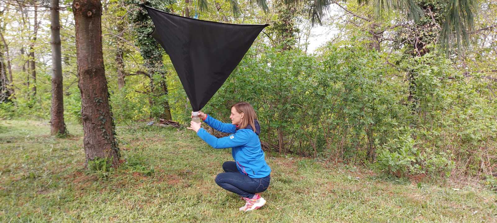
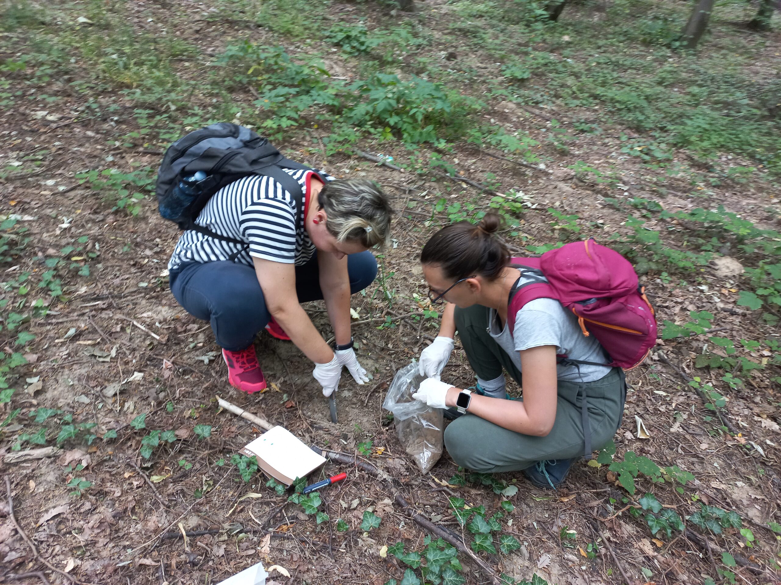
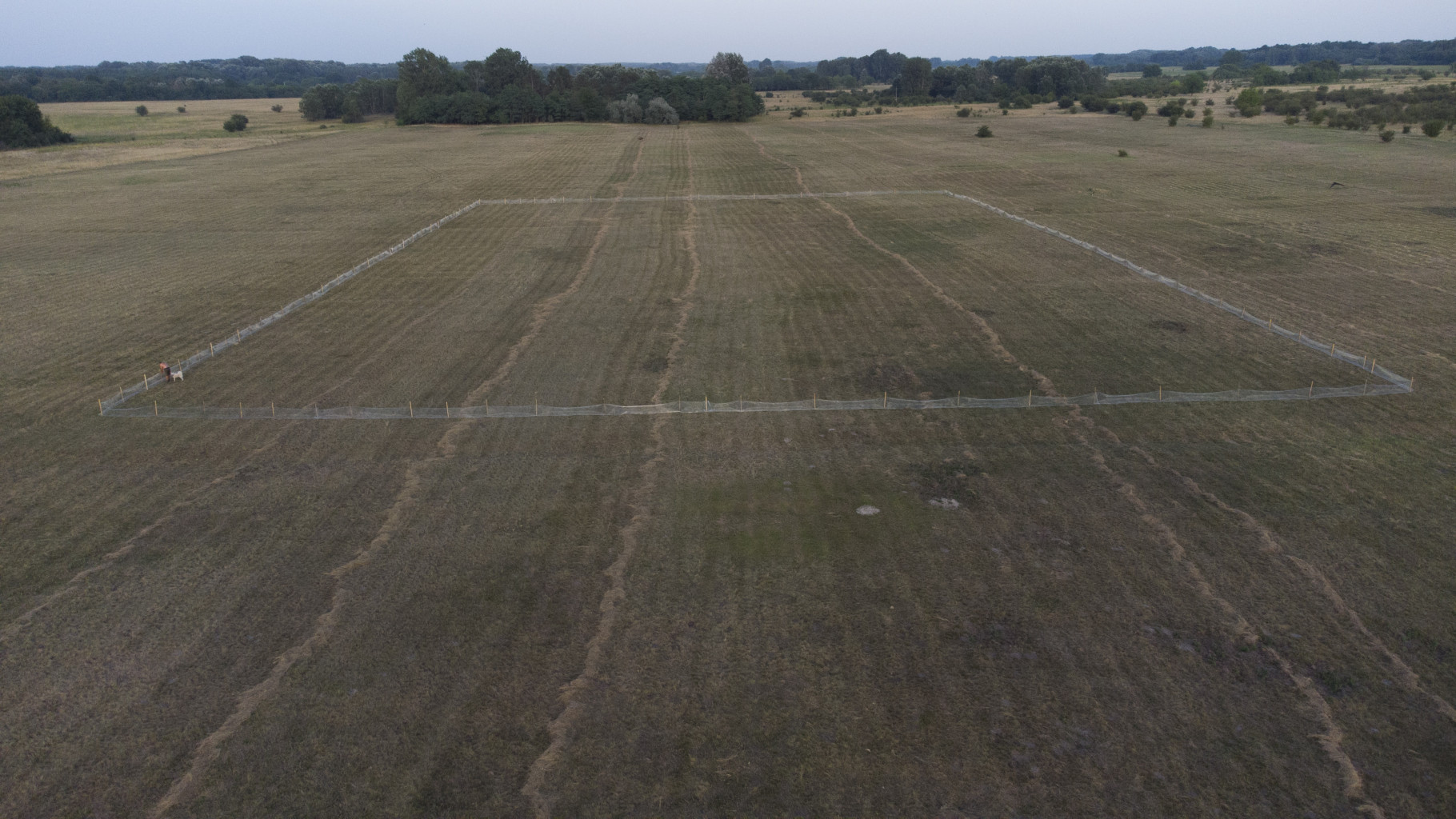
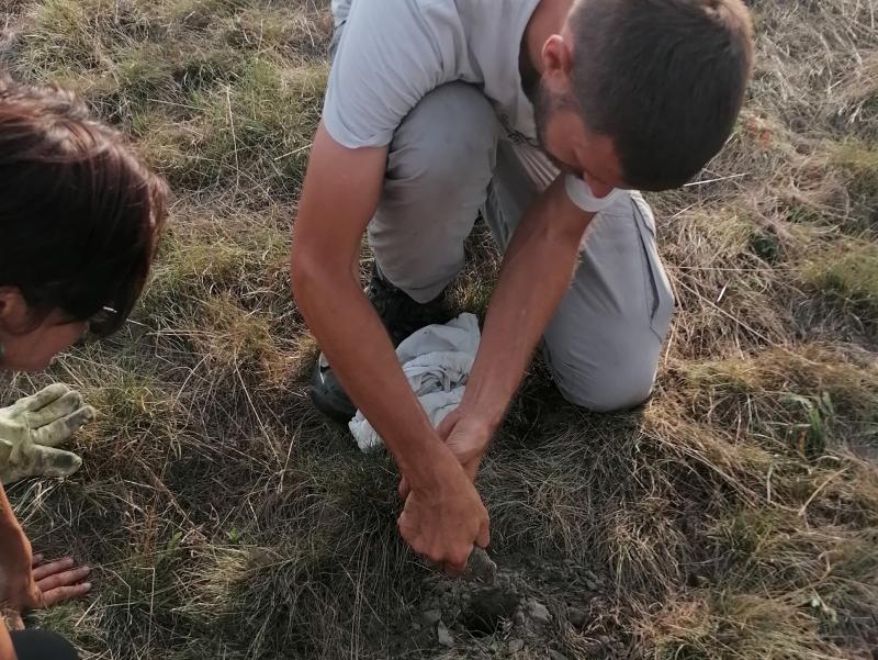
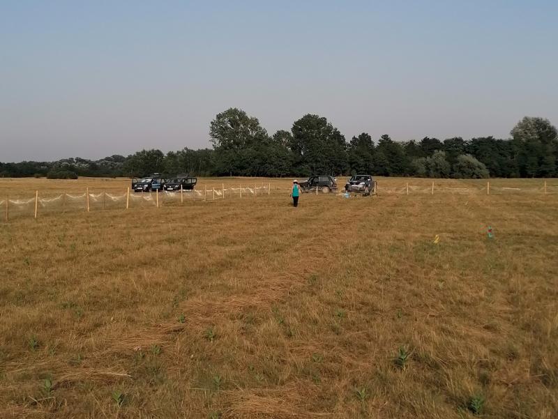
Sunčani salaš is a revitalized sandy steppe site within the Landscape of outstanding features Subotička peščara (Subotica sands). It represents an important open grassland fragment within a predominantly agricultural landscape and serves as a connection to similar sites to the west and the north. The site has two main purposes: biodiversity conservation—harboring important elements of Pannonic biodiversity, such as the a quarter of the entire known population of the critically endangered Vojvodina blind mole rat (Nannospalax (leucodon) montanosyrmiensis), a population of the European ground squirrel (Spermophilus citellus) reintroduced to Subotička peščara after 70 years as well as important avian species—and research, connecting researchers from BioSense Institute and Faculty of Sciences, University of Novi Sad, Faculty of Biology and the Institute for Biological research “Siniša Stanković”, University of Belgrade and Department of Nature Conservation, Zoology and Game Management, University of Debrecen monitoring different biological, climatic, soil and vegetation parameters.
DEIMS link: https://deims.org/5f5c850d-0036-49ac-97be-f9b314898607
Velika Morava
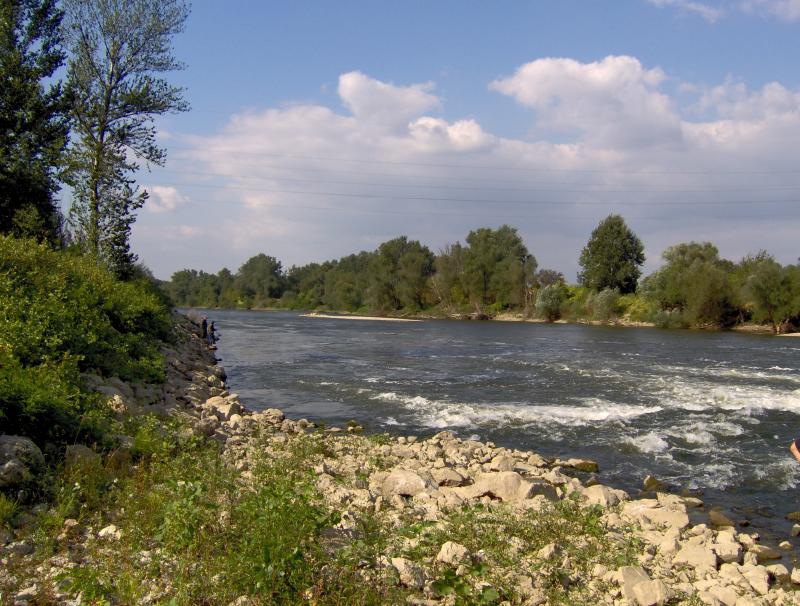
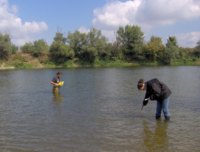
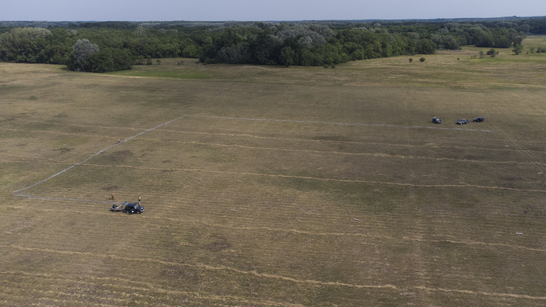
Velika Morava is 175 km long river originating from Western and Southern Morava Rivers. The whole catchment area (including Western and Southern Morava) is about 38.000 km², while the basin area of Velika Morava is 6.760 km². The mean annual flow is 245 m³ s-1 (gauge station Ljubicevo, near to the mouth of the Danube – Annual Water Quality Reports 1999-2008). Based on the size of catchments area and its flow, Velika Morava is one of the major tributaries of the Danube. Over 95% of the basin is located at the territory of the Republic Serbia. The water regime is unimodal, characterized by the prominent seasonal fluctuations. In the spring the river can be almost torrential (the mean flow near to the mouth 560 m³/s), while in the rest of the year there is a “low water” period, particularly in the autumn, when mean flow does not exceed 100 m³/s. The riverbed is 80-200 m wide, and up to 10 m deep, although average depth usually does not exceed 2 m. The silicates are the dominant geological substrate in entire catchment area. According to the main geographical features the river could be divided into two main parts. The lower one, from confluence with Dunav to the Resava River mouth (near Svilajnac), is 85 km long typical lowland watercourse (altitude lower the 100 m), with 0.35 ‰ declination, and with sand and mud/silt as dominant fractions of the riverbed. This part of the Velika Morava River belongs to Ecoregion 11 (ER11_Ser). The upper one, from the Resava river mouth to Stalac (the confluence of Southern and Western Morava Rivers), is 90 km long. The mean altitude is over 100 m a.s.l. (to 135 m), declination is 0.44 ‰ and in the riverbed the dominant part are sand and gravel fractions. Upper part belongs to Ecoregion 5 (ER5_Ser). Velika Morava river basin has four permanent monitoring sites. The area is densely populated and the river is under the influence of various pollution sources (organic, agricultural, industrial), as well as hydromorphological pressures (meander cutting, shortening, channeling, as well as gravel and send extraction).
DEIMS link: https://deims.org/5bc9428a-46e2-48c3-beb5-aec13d06f0fe